△ TruthInStone

Sites › North America › Tikal and the PACUNAM lidar survey

Tikal and the PACUNAM lidar survey

Tikal and the PACUNAM lidar survey
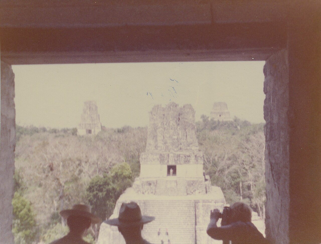
Image: Infrogmation of New Orleans, Wikimedia Commons, CC BY 2.0. Resized; not otherwise altered. All credits.
📍 Where It Is Tikal & Petén Department, northern Guatemala 17.2220°, -89.6237°
🏛️ Mainstream Date c. 1000 BCE to 1500 CE (Late Classic peak c. 650–800 CE) Excavated baseline
🧭 Leading Edge / Open Angle Tripled population estimates for the lowland Maya rainforest Debated or newly revised
🪨 Heaviest Stone & Quarry 3–6 tons (carved stelae & lintels; Temple IV stands 65 m tall) 0.1× the 40-ton test limit · Compare all 64 sites →
30-SECOND TAKEAWAY

In Plain English — The 30-Second Takeaway

What It Is:

The PACUNAM LiDAR survey around Tikal used airplane laser scanners to strip away the Guatemalan jungle canopy across 2,144 square km.

What Everyone Agrees On (Measured Facts):

Published in Science in 2018, the laser maps revealed 61,480 unmapped stone buildings, elevated roads, fortresses. 362 square km of terraced farms.

🏛️ Mainstream Archaeology View:

Maya scholars raised their Late Classic population estimates for the lowlands from a few million to between 7 and 11 million people.

🧭 Leading Edge View:

The survey proved that even around famous dug sites like Tikal, over two-thirds of the surrounding buildings were still hidden by trees.

Site Story & Overview

This survey made the public aware of how much of the Maya world is still hidden under forest. The structures are measured.

▸ Read Full Archaeological & Engineering Context

Population figures depend on assumptions about how many buildings were lived in at the same time. The photograph shows Tikal's central temples in 1975.

✓ What Is Physically Measured on Site

Dated samples, laser scans, stone weights, and dug finds kept separate from opinion.

🏛️ Mainstream Archaeological View

  • Accepted timeline: Lowland Maya culture from about 1000 BCE to 1500 CE. Late Classic peak about 650–800 CE.
  • Stone & hardness: Cretaceous-Eocene karstic limestone & lime stucco — Mohs hardness 3.5 (Limestone) (on the 1–10 Mohs scale where a steel knife is ~5.5 and diamond is 10).
  • Quarry distance & alignment: Stone source 0.5–2 km (local quarries repurposed as water reservoirs). Orientation: Mundo Perdido E-Group equinox/solstice sunrise radial sightlines.

🧭 Leading Edge Proposal & Open Questions

  • Timeline consensus: The survey proved that even around famous dug sites like Tikal, over two-thirds of the surrounding buildings were still hidden by trees.
  • Engineering comparison: Heaviest unit is 3–6 t (carved stelae & lintels; Temple IV reaches 65 m height) (0.5–2 km (local quarries repurposed as water reservoirs)). See how it compares in our 64-Site Scale-Gap Explorer.

Tested Claims About Tikal and the PACUNAM lidar survey

ClaimStatusVerdict
LiDAR shows Maya lowlands were far more densely settled than thought
Airplane laser scans have revealed tens of thousands of hidden Maya buildings, roads, and farms under the jungle.
MainstreamMeasured: far denser settlement than mapped before

Visiting & base stays: Tikal National Park & Petén LiDAR Landscape (Flores / Tikal base, Guatemala)

FTC affiliate disclosure: Tour links go to GetYourGuide and Viator. Hotel links use Stay22 (aid=solarevidence) for Booking.com and Expedia. If you book a trip, we may earn a small fee at no extra cost to you. All partner links use rel="sponsored nofollow noopener". Check travel alerts before you go. Partner fees never change our ratings. All 64 site field visits · Affiliate disclosure.

📚 Further Reading: Both Sides of the Argument

Top books from both sides of the debate on this topic. Browse all 34 books on Books & Further Reading or visit our Search for the Truth Bookshop.org storefront.

Mainstream Baseline 2022 ★ 4.7/5

The Maya (10th ed.)

Michael D. Coe & Stephen Houston

The classic guide to the Maya world, updated with new jungle laser maps, the 1000 BCE Aguada Fénix platform, and calendar science.

▸ Why this book matters to both sides

The tenth edition of the standard academic overview of Maya culture, updated with airborne LiDAR surveys across the Petén and Campeche, the 1000 BCE Aguada Fénix plateau, and Long Count astronomy.

Role in the debate: Pairs the latest LiDAR town densities and epigraphic readings with Mesoamerican calendrical and sky debates. (ISBN 9780500295144)

Mainstream Baseline 2019 ★ 4.4/5 · AIA Holton Award

Archaeology from Space: How the Future Shapes Our Past

Sarah Parcak

Explains how satellites and airplane lasers spot buried cities, roads, and temples across Egypt and the Americas.

▸ Why this book matters to both sides

Remote-sensing archaeologist Sarah Parcak explains how multispectral satellite imagery and airborne LiDAR reveal buried towns, road networks, and giant foundations across Egypt, Europe, and the Americas.

Role in the debate: Explains the physics and ground-truthing requirements of remote sensing—essential context for comparing verified LiDAR cities against disputed subsurface radar claims. (ISBN 9781250231345)

Mainstream Baseline 2005 ★ 4.6/5

1491: New Revelations of the Americas Before Columbus (2nd ed.)

Charles C. Mann

Shows how new digs and laser maps proved the ancient Americas held big cities, roads, and farms long before Columbus.

▸ Why this book matters to both sides

Surveys the archaeological, botanical, and demographic discoveries showing that the pre-Columbian Americas—from Caral-Supe and the Amazon basin to Cahokia—were older, more populous, and more engineered than once taught.

Role in the debate: Documents how mainstream field evidence overturned the 20th-century 'pristine wilderness' model in the Amazon and pushed giant buildings in Peru back to the third millennium BCE. (ISBN 9781400032051)

Leading Edge 2019 ★ 4.7/5

America Before: The Key to Earth's Lost Civilization

Graham Hancock

Explores Amazon earthworks, Serpent Mound, ancient DNA, and early American sites to argue for an Ice Age culture in the Americas.

▸ Why this book matters to both sides

Tests pre-Clovis archaeological sites, Ancient North Eurasian DNA signals, Amazonian earthworks, Serpent Mound, and Poverty Point. It argues the Americas were central to an Ice Age cultural network.

Role in the debate: Contrasts directly with Charles Mann's *1491* and mainstream Americanist archaeology on early peopling, Amazon geoglyphs, and North American earthen mounds. (ISBN 9781250756954)

FTC affiliate disclosure: Book links go to Bookshop.org (ID 130218, Search for the Truth). Each sale helps local bookstores and pays us a 10% fee at no extra cost to you. All partner links use rel="sponsored nofollow noopener". Fees never change our verdicts. Affiliate disclosure.

Primary Academic Sources

▸ View All Cited Primary Sources & DOIs (1 paper)
  1. Canuto, M. A. et al. (2018). Ancient lowland Maya complexity as revealed by airborne laser scanning of northern Guatemala. Science 361. doi:10.1126/science.aau0137 data

Dates and stone checks are summed up in plain English from the papers above. Measured facts stay separate from opinion. Methodology.